5.5. Digital Elevation Data
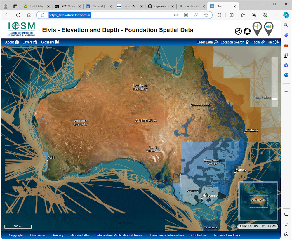
World-wide digital elevation data is available from the USGS via their data portal, e.g., Earth Explorer, and Australian data can be downloaded from the Geoscience Australia ELVIS portal.
The SRTM-Downloader plugin allows the user to download tiles into their map window and these can be saved. Note that you will need a USGS EarthExplorer portal login (free). The dtm tiles are downloaded in one degree tiles in hgt grid format (which QGIS reads with no problem).
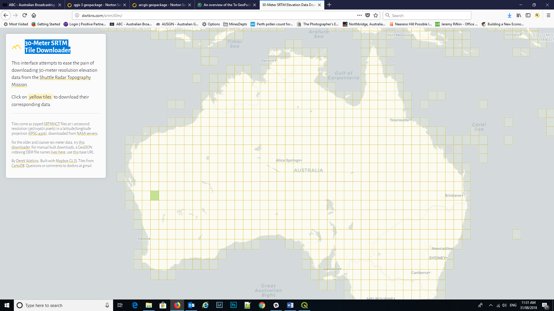
You can also use this link to access the 30m SRTM tile data. You will need to add your USGS EarthExplorer username and password.
These images are in jp2 (jpeg2000) format which have the image registration information incorporated in the file. QGIS reads and registers these images.
The ELVIS data portal can be accessed here “https://elevation.fsdf.org.au/”.